
Cite
MLA
“Tibet: Kailash and Manasarovar.” Hindu History, 2026, https://www.hinduhistory.in/world/tibet-and-kailash/. Accessed .
APA
Hindu History. (2026). Tibet: Kailash and Manasarovar. Retrieved , from https://www.hinduhistory.in/world/tibet-and-kailash/
01The abode of Mahadev
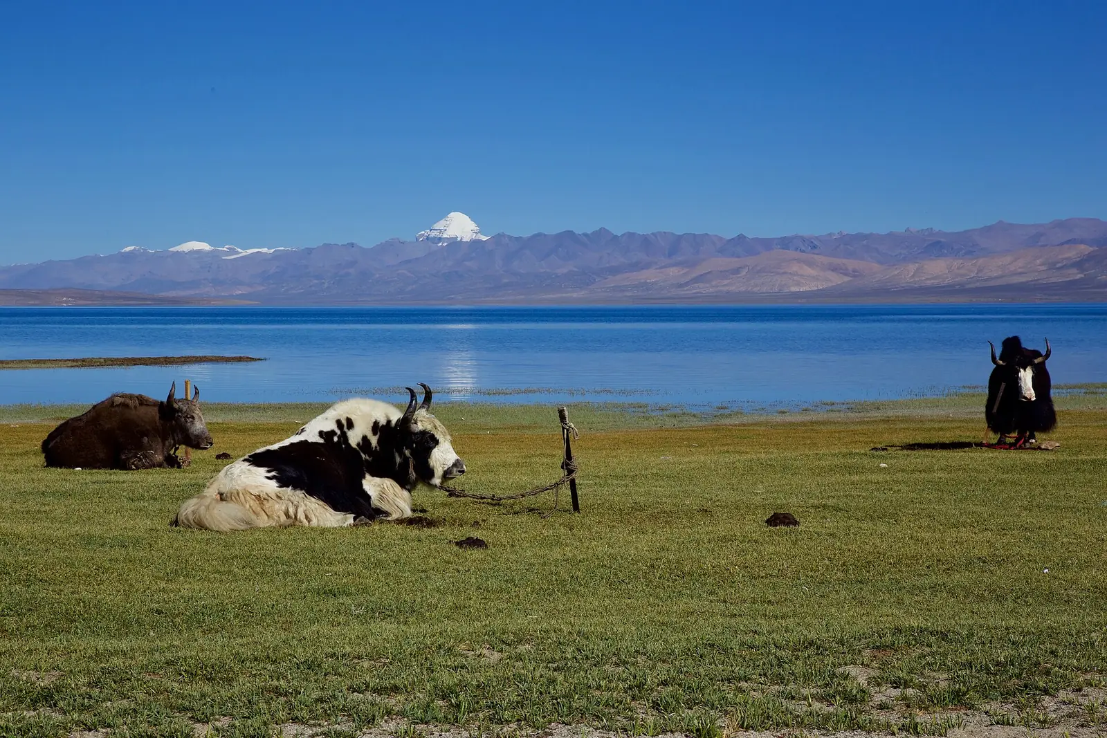
For Shaivas, Kailasa is the seat of Bhagwan Shiva and Mata Parvati, where Mahadev sits in unbroken dhyana; the Puranas place there the court of his ganas and the treasure-city of Kubera, Alaka, close by. The Ramayana tells how Ravana tried to lift the mountain and was pinned under it by Shiva’s toe until he sang his way free, the scene the Rashtrakuta carvers set in stone at Ellora. The lake below is Manasa Sarovara, the lake of the mind, made by Brahma as the home of his hamsa, the swans that stand in Sanskrit poetry for the soul that can tell milk from water. Beside it lies a second lake, salt, which Hindu tradition calls Rakshastal and links with the tapas of Ravana. The Sanskrit name Kailasa may come from kelasa, crystal.
02Four rivers from one roof
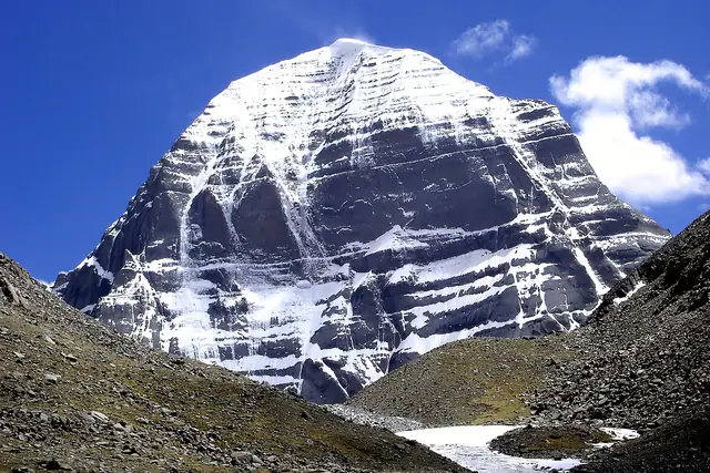
Kailash stands 6,638 metres high in the Gangdise range of the Transhimalaya, in the far west of the Tibetan plateau, just north of the point where Bharat, Nepal and Tibet meet. Within a stretch of about sixty kilometres around it rise four of the great rivers of the subcontinent: the Indus, the Sutlej, the Yarlung Tsangpo that becomes the Brahmaputra, and the Karnali that joins the Ganga as the Ghaghara. Manasarovar covers about 320 square kilometres, is about 88 kilometres round and up to 100 metres deep, and is among the highest large freshwater lakes in the world. A channel, the Ganga Chhu, carries its overflow into Rakshastal. No one is recorded to have climbed Kailash, and the Chinese government forbids it.
03One mountain, four faiths
The mountain is holy to four faiths at once. Jains call it Ashtapada and hold that Rishabhadeva, the first Tirthankara, attained nirvana there. Tibetan Buddhists call it Kang Rinpoche, the precious snow mountain, the dwelling of Demchok, Chakrasamvara, and the axis of the world, Meru. For the followers of Bon, the old religion of Tibet, it is where Tonpa Shenrab came down from heaven, and they walk round it anticlockwise, while Hindus and Buddhists go clockwise. The parikrama, the kora, starts from Darchen, passes the Dirapuk monastery under the north face, crosses Dolma La at about 5,630 metres, and comes down by Zuthulphuk. Pilgrims who can also walk round Manasarovar, about ninety kilometres, and bathe in its water, which the Shastras say washes away sin.
04Zorawar Singh at Taklakot, 1841
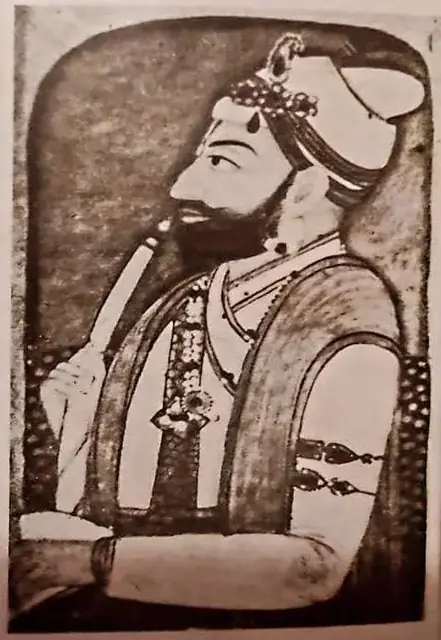
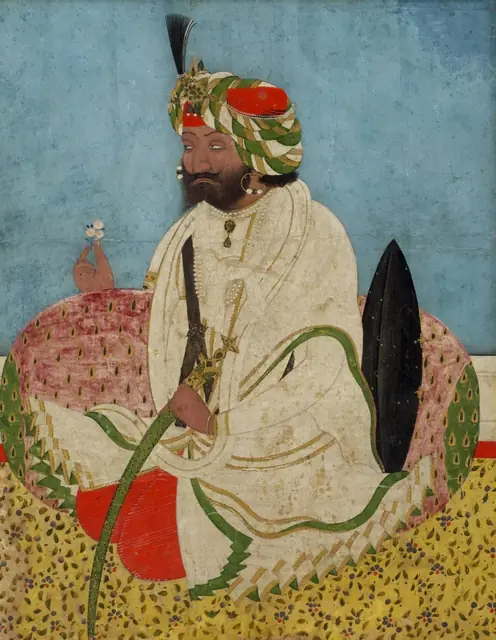
In May 1841 General Zorawar Singh, the Dogra commander who had already taken Ladakh and Baltistan for Raja Gulab Singh of Jammu, marched into western Tibet with a few thousand men. He took Gartok and pushed on to Taklakot, the market town of Purang on the Karnali close to Manasarovar. Winter came early; a Tibetan and Chinese army gathered, and in December 1841, at To-yo near Taklakot, his frozen and outnumbered force was broken and he was killed. The war ended in 1842 with the Treaty of Chushul, which left the old border between Ladakh and Tibet where it had been. For more than a century after that, Bhotia traders of the Kumaon valleys of Byans, Darma and Johar kept the trade with the Tibetan marts, and pilgrims walked with them.
05Closed in 1962, open again in 1981
The agreement on trade and intercourse between India and the Tibet region of China, signed in Peking on 29 April 1954, allowed pilgrims of the Hindu, Buddhist and Lamaist faiths to visit Kailas and Manasarovar ‘in accordance with custom’. It expired in June 1962, and after the war of that year the road was shut. In 1981 the Ministry of External Affairs and the Chinese government opened an organised yatra through the Lipulekh pass in Pithoragarh, and in 2015 a second route through Nathu La in Sikkim was added. Pilgrims go in batches of about fifty. The yatra stopped in 2020 with the pandemic and the border crisis, and resumed on 13 June 2025 with 750 pilgrims in fifteen batches, five by Lipulekh and ten by Nathu La. For 2026 the ministry announced a thousand pilgrims by both routes; Nepal, which claims the Lipulekh area, objected to the use of that route.
06The road by Gunji and Om Parvat
The Lipulekh route begins at Dharchula in Pithoragarh district and climbs the gorge of the Kali through Tawaghat, Gala and Budhi to Gunji, at about 3,200 metres the last large village, and on by Kalapani to Nabhidhang, at about 4,270 metres the last camp in India. From Nabhidhang pilgrims see Om Parvat, where the snow lies on the rock in the shape of Om. The Kumaon Mandal Vikas Nigam keeps the rest huts along the way. An eight-kilometre climb leads to the pass, at about 5,334 metres, and down into Tibet towards Taklakot. In 2020 the Border Roads Organisation completed a road from Dharchula to the pass, and in 2023 began a short road from Nabhidhang to a viewpoint from which Kailash itself can be seen from Indian soil.
No Hindu community lives near Kailash; the monasteries round the mountain and the lake are kept by Tibetan Buddhists. Each summer Indian pilgrims come by the government yatra through Lipulekh and Nathu La, and many more by private tours through Nepal, to walk the parikrama and bathe in Manasarovar.