01The Shahis’ last stand
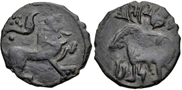
After Jayapala’s defeat at Peshawar in 1001 and Anandapala’s at Waihind in 1008, the Hindu Shahi house fell back from the Indus into the Salt Range. Trilochanapala held Nandana. In 1014 Mahmud marched on it; al-Utbi’s Tarikh-i-Yamini tells how the king’s son Bhima, whom the Persian writers call Nidar Bhim, the fearless, held the pass with elephants before the garrison was forced to yield. Trilochanapala went on fighting from Kashmir’s borders and the Tawi, and was killed in 1021. The fort passed to the Ghaznavids and later to the Sultanate.
02Al-Biruni’s measurement
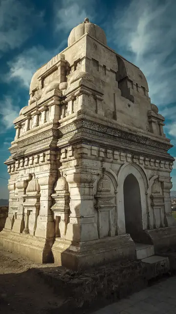
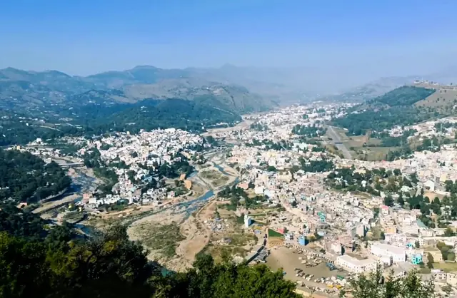
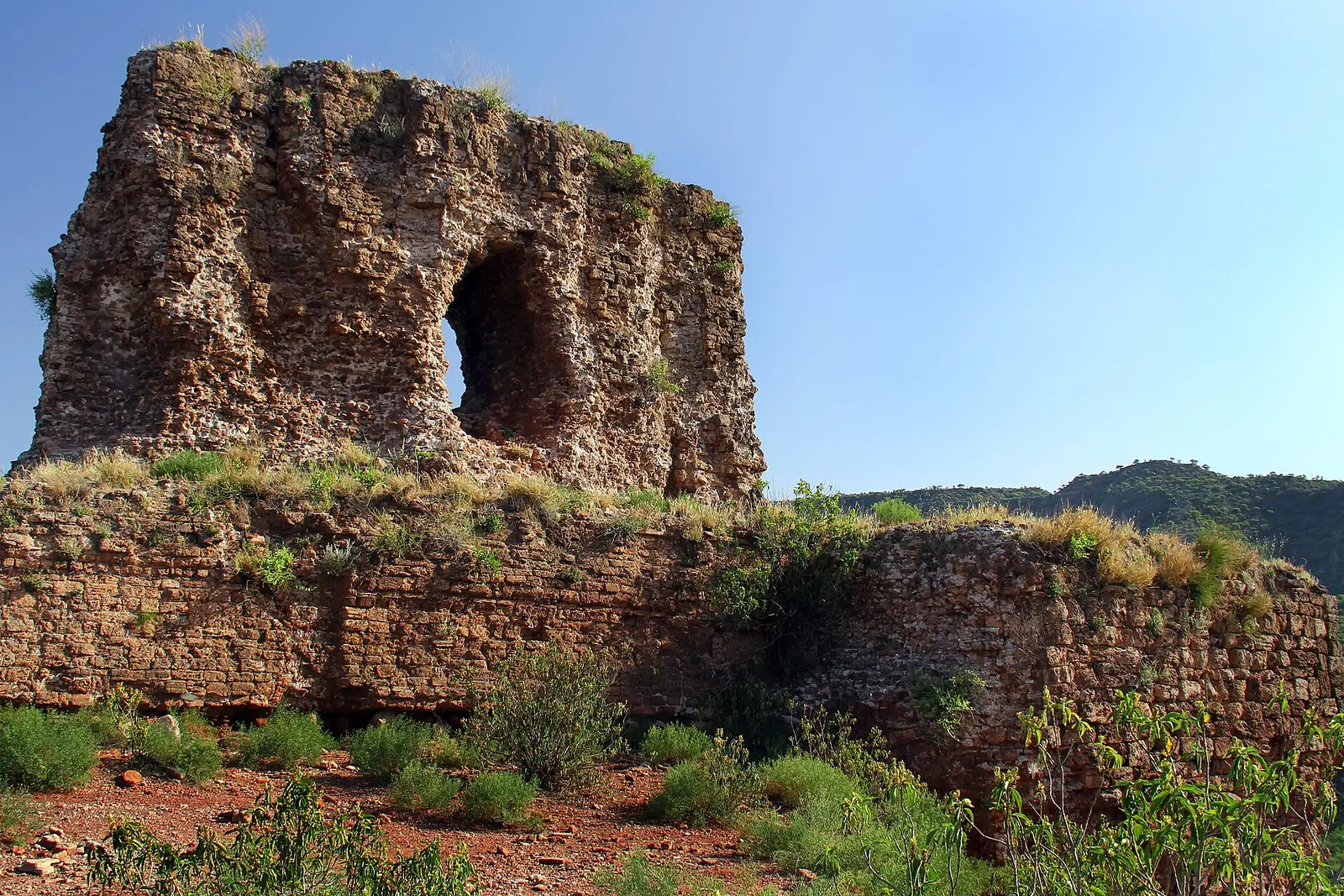
Al-Biruni, the Khwarazmian scholar who came to India in Mahmud’s train and learned Sanskrit to write his Kitab al-Hind, stood on the hill at Nandana, measured its height, and then took the dip of the horizon over the flat plain below. From those two numbers he worked out the radius of the earth, and his answer comes within about one per cent of the modern figure. On the ridge today are the broken walls of the fort and the shell of a stone temple in the Shahi style, with a trefoil arch over its door, much like the temples of Amb and Katas Raj in the same hills.
The life of this place
- after 1008The Hindu Shahis fall back to the Salt Range and hold Nandana.
- 1014Mahmud of Ghazni takes Nandana from Trilochanapala’s garrison (Tarikh-i-Yamini).
- 1021Trilochanapala is killed; Shahi resistance in the Punjab ends a few years later.